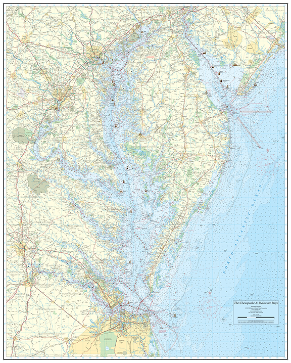
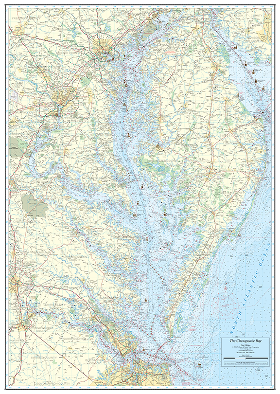
Wall Charts
Large-format nautical wall charts of the Chesapeake and Delaware Bays. Available rolled, folded, or laminated. Based on official NOAA cartography — ideal for route planning and display.
2 products
Large-format nautical wall charts of the Chesapeake and Delaware Bays. Available rolled, folded, or laminated. Based on official NOAA cartography — ideal for route planning and display.
2 products