
Featured Charts & Guides
Every product meticulously crafted for durability, accuracy, and ease of use on the water.
Built for the Water
Why serious boaters choose printed chartbooks over digital screens alone.
Wet Strength Paper
Printed on special Wet Strength paper that is fully functional even when wet. Covers coated with 8ml laminate.
NOAA-Sourced Charts
We compile navigation information from the latest National Oceanic and Atmospheric Administration (NOAA) sources.
Family-Owned Since 1921
Four generations of boating knowledge and experience. A local manufacturer you can trust.
Red-Light Readable
Printed with red-light readable ink for night navigation. Includes planning charts, tidal currents, and marina indexes.
Shop by Category
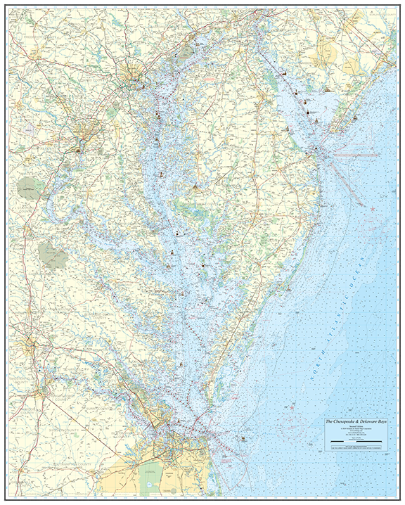
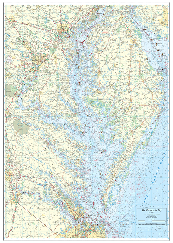
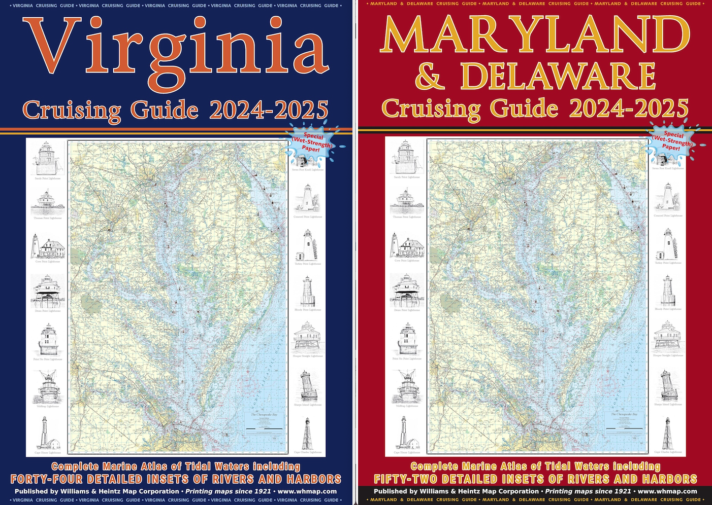
Over 60 Years of Charting the Bay
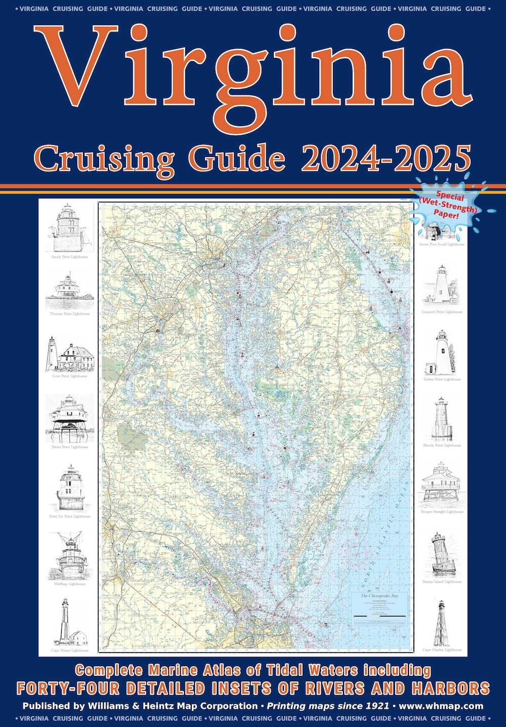
Williams and Heintz printed the very first “Guide for Cruising Maryland Waters” beginning in the early 1960’s for the Maryland Department of Natural Resources. In 1996, we took over as its publisher, renamed it under the title of Maryland Cruising Guide, and updated the Virginia Cruising Guide in 2003.
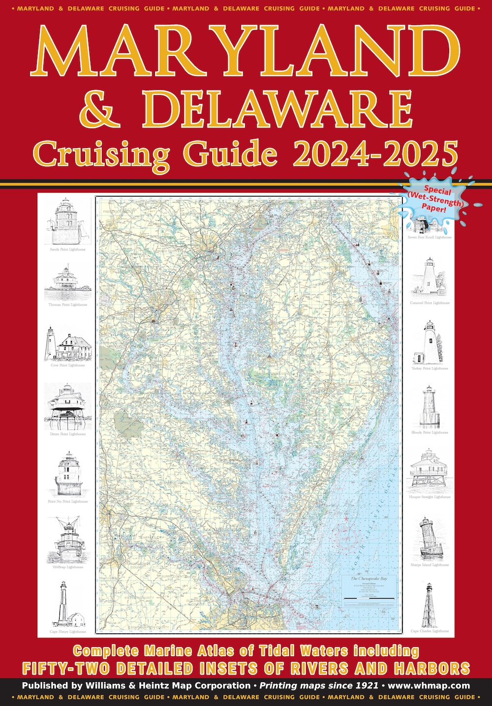
In 2020, we added Delaware Bay to Maryland’s book. Our chart books are printed on special Wet Strength paper using red-light readable ink. They include a planning chart, tidal currents, course headings, towing services, and a detailed marina index.
We use a special Wet Strength paper that is fully functional even when wet. Its cover is coated with an 8ml laminate. Each chart book is enclosed in a heavy-duty vinyl sleeve. We update and republish every 2 years for the most up-to-date navigation chart books of Maryland, Delaware, and Virginia.