Browse our complete catalog of nautical chartbooks, cruising guides, and wall charts.
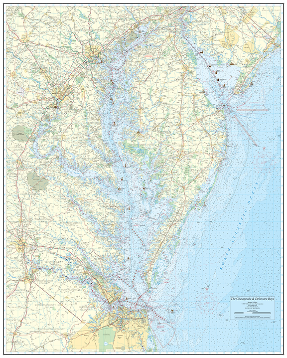
Our largest wall chart — a stunning 46.5″ x 58″ nautical chart covering both the Chesapeake Bay and Delaware Bay in rich, NOAA-sourced detail. Available on chart paper rolled, folded (+$10), or laminated (+$20).
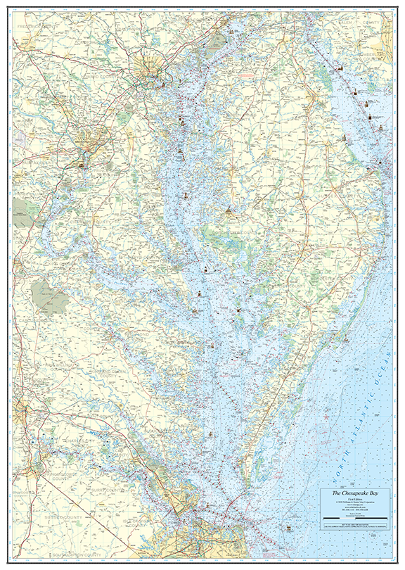
A beautifully detailed 37″ x 52″ nautical wall chart of the Chesapeake Bay. Available on chart paper rolled, folded (+$10), or laminated (+$20).
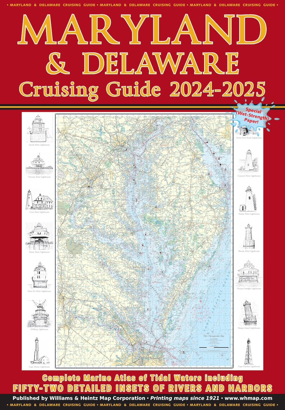
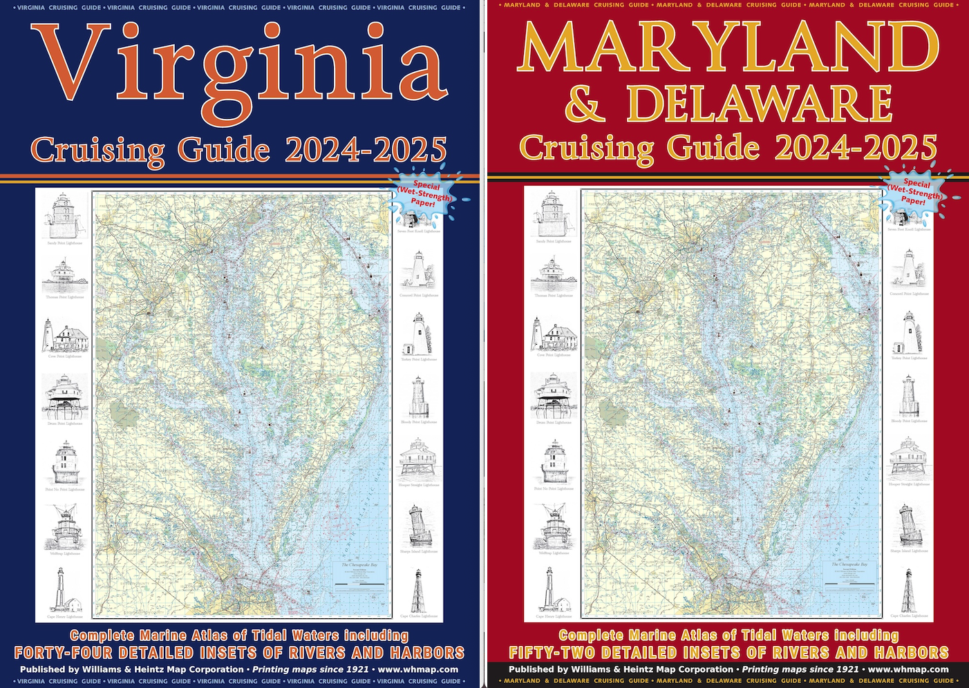
Our Maryland & Delaware Cruising Guide covers the Maryland area of the Chesapeake Bay, the Potomac River as far north as Washington, D.C., Delaware Bay to Cape May, and the Chincoteague Bay area.
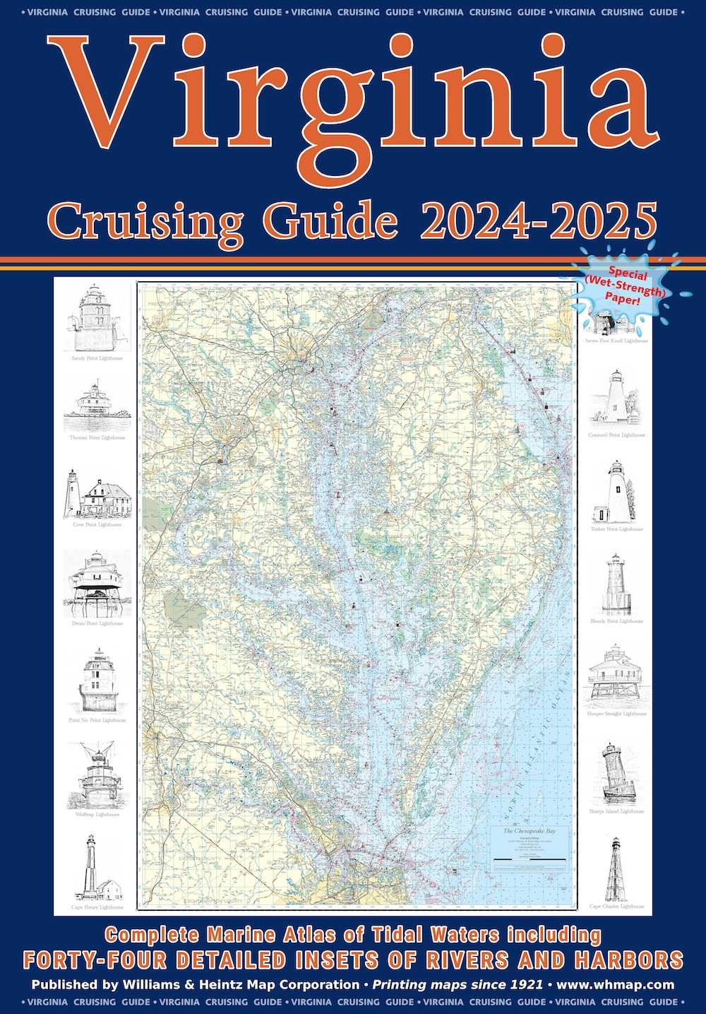
Our Virginia Cruising Guide covers Tidewater Virginia, southern Chesapeake Bay, Potomac River plus the Atlantic Ocean shores and bays.
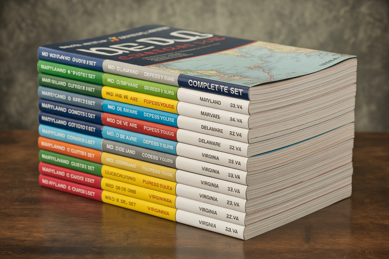
The complete set: one copy each of our Maryland & Delaware Cruising Guide and Virginia Cruising Guide. Save $10 when you buy both together.
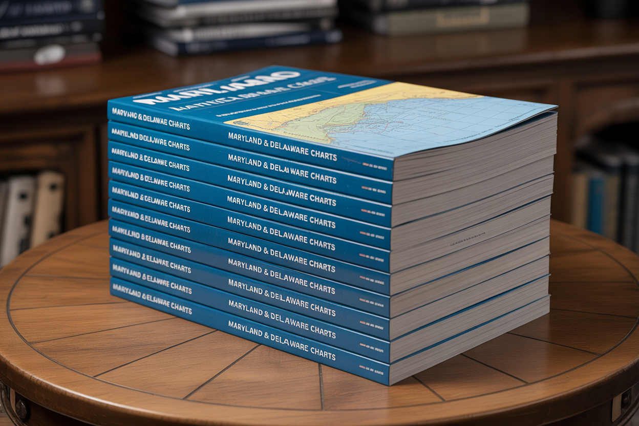
10 copies of our Maryland & Delaware Cruising Guide at volume pricing. Save $130 off retail — perfect for marinas, yacht clubs, boat shows, and marine retailers.
20 copies of our Maryland & Delaware Cruising Guide at our best volume price. Save $340 off retail — our deepest discount for high-volume buyers.
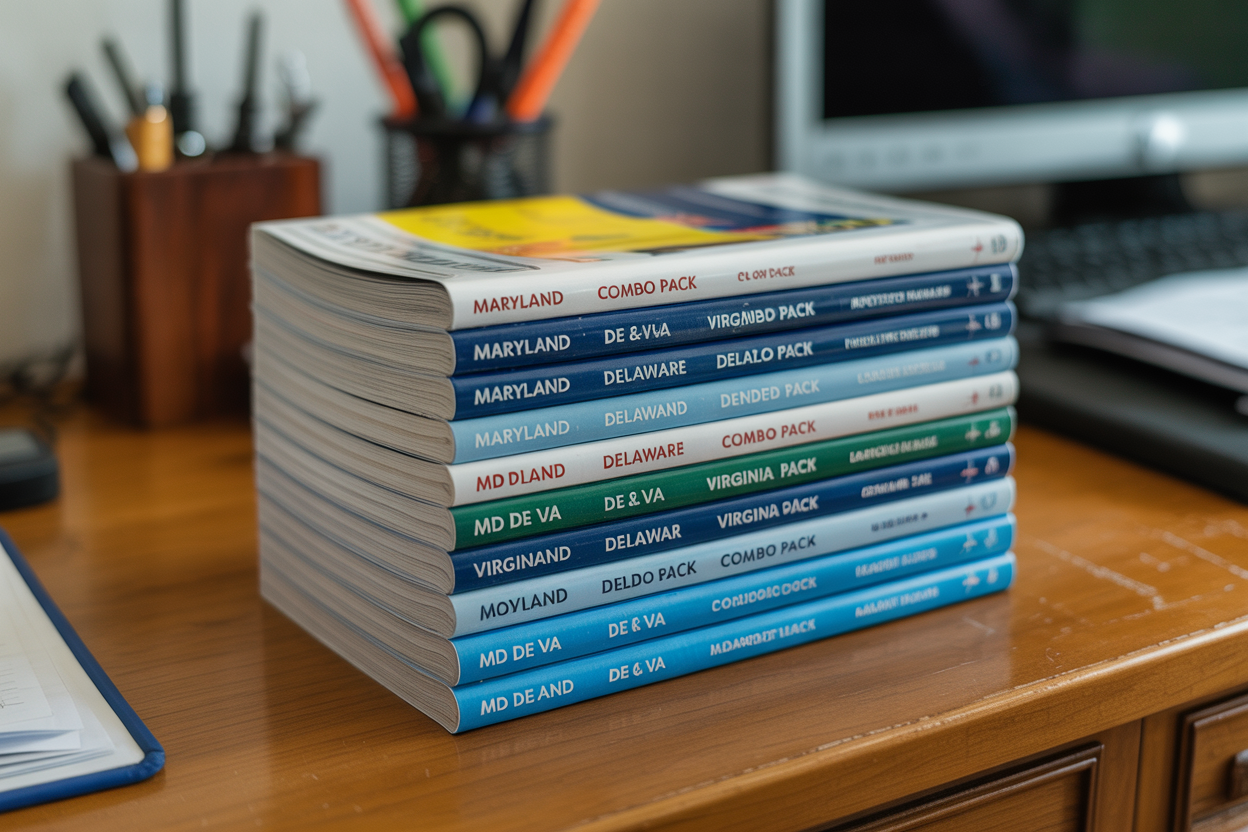
10 combo sets of both the MD & DE and VA Cruising Guides at volume pricing. An exceptional value for marinas and retailers serving the full Chesapeake region.
20 combo sets of both guides at our deepest discount. The ultimate volume package for serious marine retailers and large organizations.
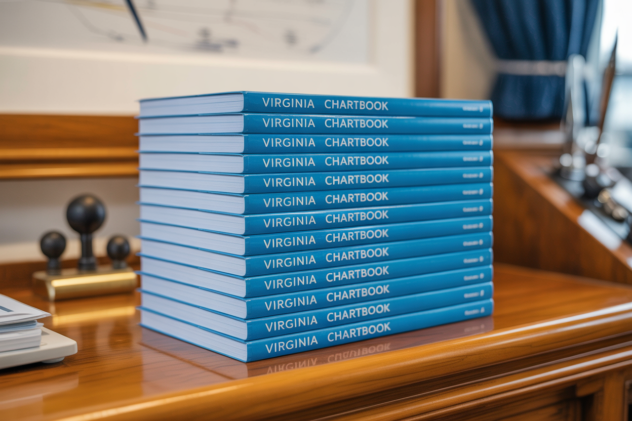
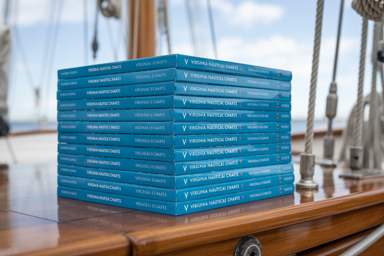
10 copies of our Virginia Cruising Guide at volume pricing. Save $130 off retail — ideal for Virginia marinas, yacht clubs, and marine retailers.
20 copies of our Virginia Cruising Guide at our best volume price. Save $340 off retail — maximum savings for high-volume buyers.